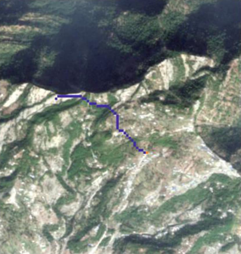
Punjpeer Rocks, a viewpoint on Danoi Ridge in Kotli Sattian, Kahuta, had no engineered trail — only unmarked routes up steep terrain.
GeoVeris used least-cost path analysis in ArcGIS to route a trail through the ridge's gentler ground, checked against a Sentinel-2 land-cover classification for water crossings.
An academic GIS methodology exercise rather than a commissioned deliverable.
Approach
Methodology
Used slope derived from a DEM as the cost surface for a least-cost path analysis in ArcGIS, then checked the routed trail against a Sentinel-2 land-cover classification in ENVI.
Outcome
Results & Outcomes
- Routed a trail favoring gentler saddle terrain over the steepest direct ascent
- Confirmed the alignment does not cross any mapped water features
Constraint
Challenges
Built-up areas and exposed rock shared similar spectral signatures in the classification, a known limitation that didn't affect the routed path.