In-depth reads on how we solve real engineering problems
Context, methodology, and measured outcomes — a closer look at a selection of our most substantial engagements.
 Web Development
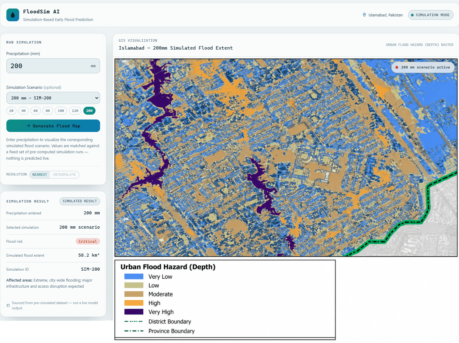
FloodSim AI
Communicating flood hazard clearly to a non-technical audience is often harder than producing the hazard model itself — dashboards either oversimplify into a single risk color or bury the reader in raw model output. FloodSim AI was built as a frontend prototype exploring a…
Read the full case study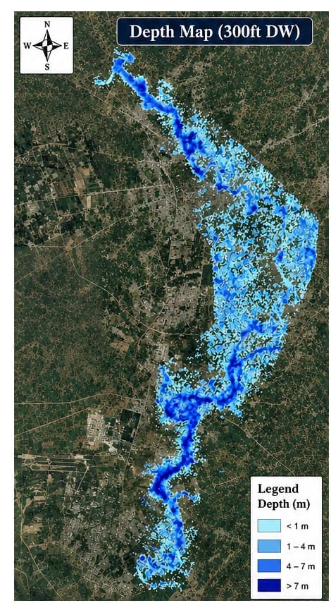 Hydraulics
Kalpani Nullah 2D Hydraulic Flood Hazard Modeling
Kalpani Nullah is a seasonal hill torrent that runs directly through the built-up core of Mardan, and the municipal drainage authority responsible for the corridor had no depth- or velocity-classified hazard map to work from — only a general sense of which reaches flooded worst…
Read the full case study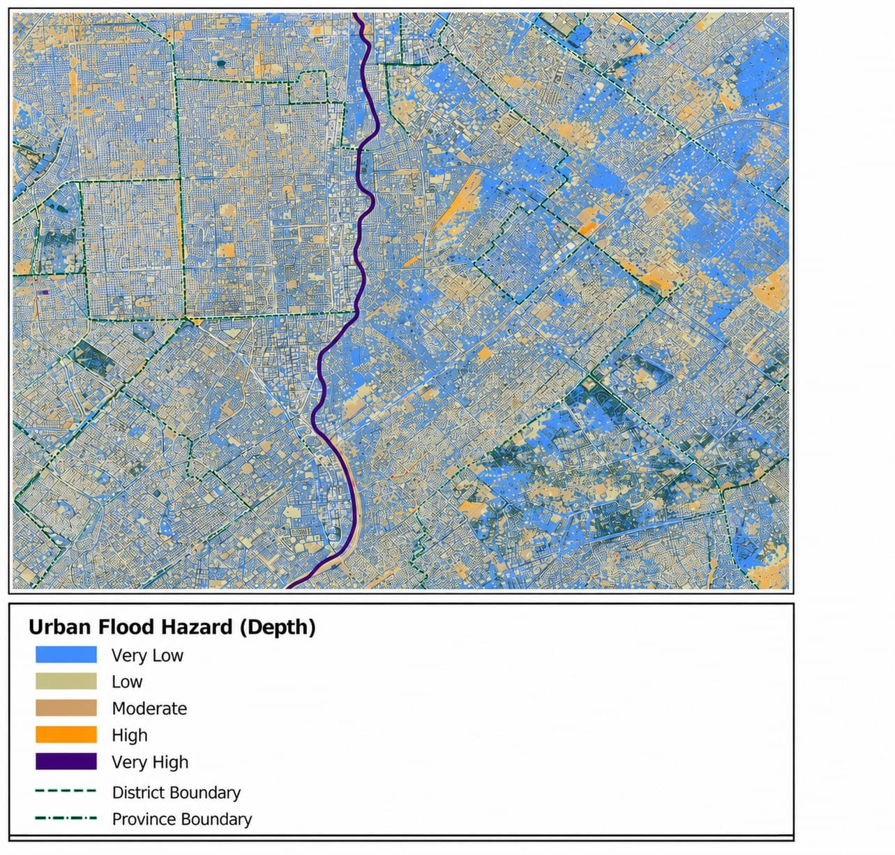 Urban Flood
Karachi Urban Flood Hazard Modeling (openLISEM)
A mixed residential and commercial district of Karachi floods repeatedly where a watercourse runs directly through dense built-up area, and the metropolitan disaster management authority had no depth-classified hazard map to ground its flood-risk planning for the corridor — only…
Read the full case study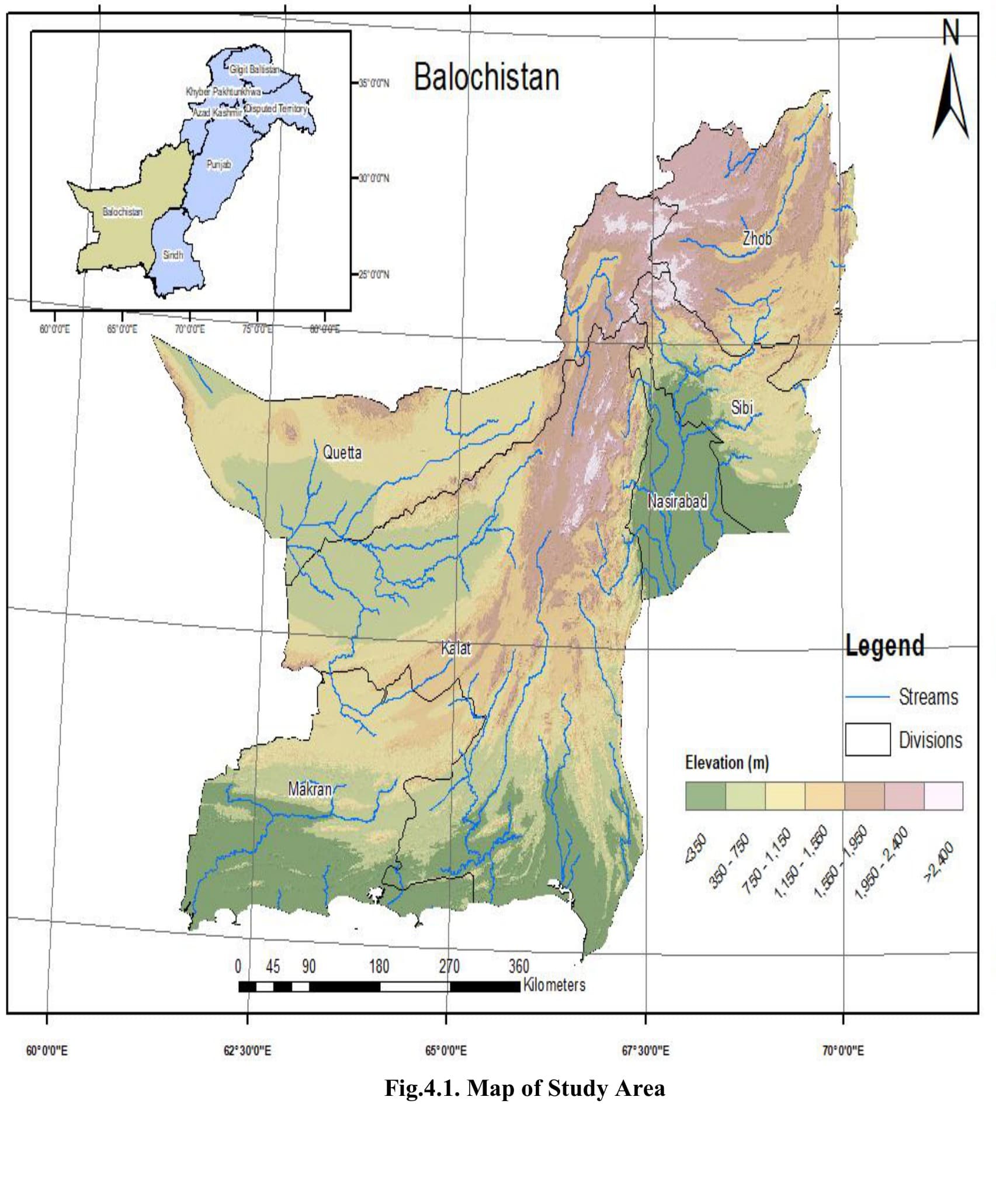 Hydrology
Spatio-Temporal Drought Assessment of Balochistan
Balochistan is Pakistan's largest and most drought-prone province, but the provincial department responsible for water and agriculture planning had never had a single, defensible, province-wide picture of drought severity — assessments of vegetation stress, rainfall deficit, and…
Read the full case study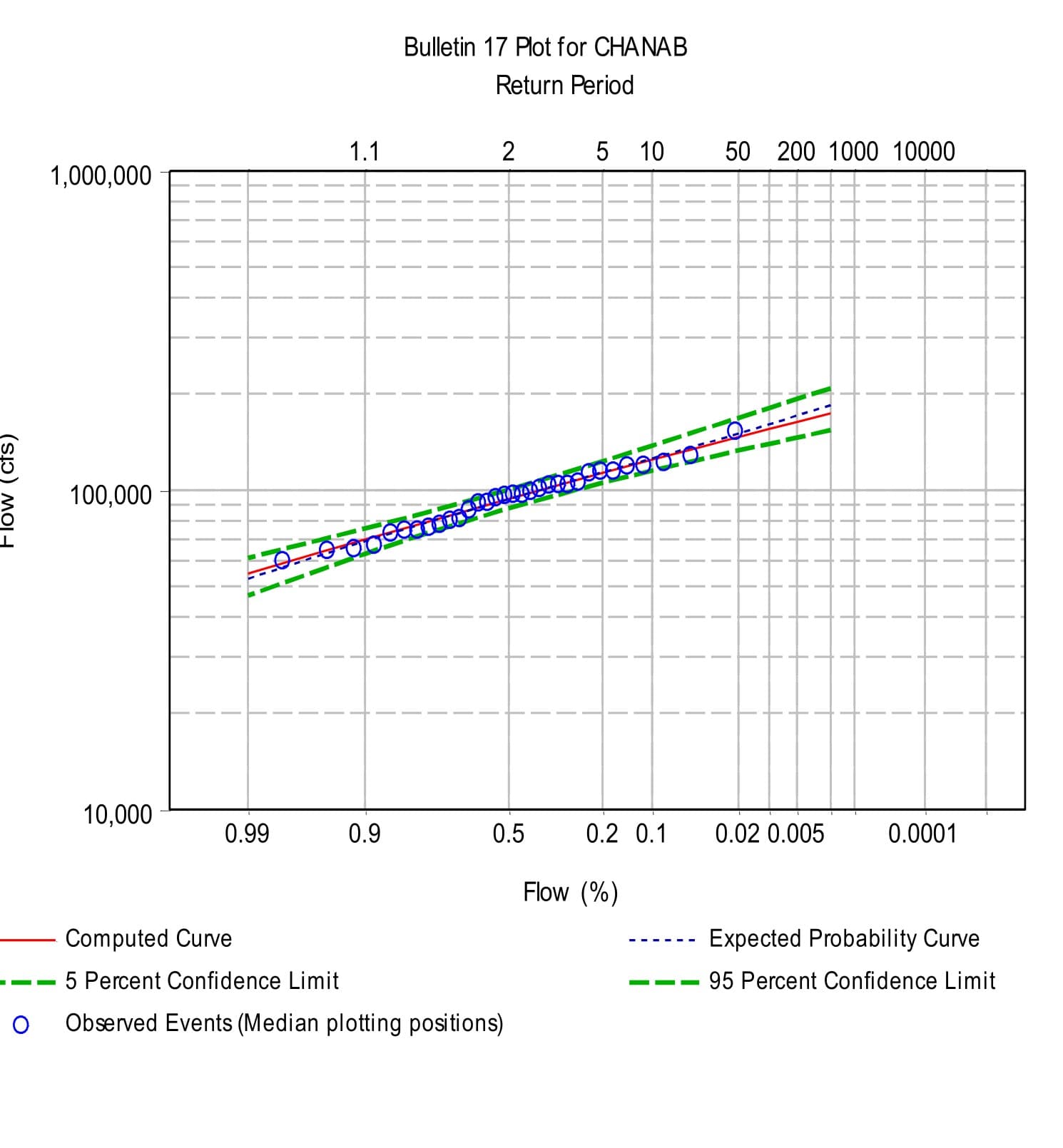 Hydrology
Chenab River Flood Frequency Analysis
Floods on the Chenab recur most years at the onset of monsoon and peak summer glacier melt — the Jhelum-Chenab system peaked at 24,380 m³/s in September 2014 — and the regional flood forecasting directorate needed defensible return-period estimates for protection and reservoir…
Read the full case study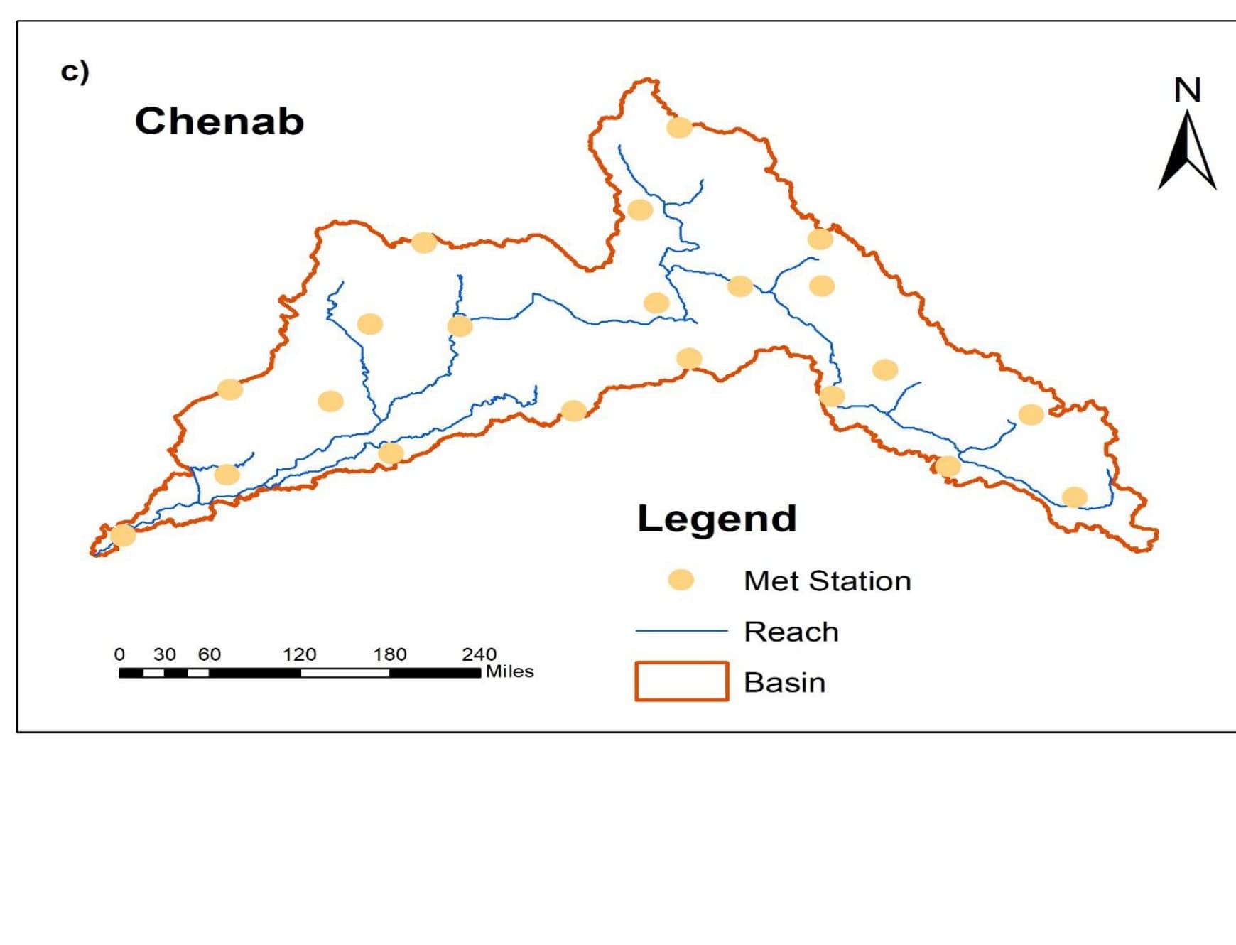 Hydrology
Chenab River Hydrological Modeling (SWAT)
The Chenab originates in the Himalayas and flows freely to Marala with no dam or headwork regulating it upstream — a trans-boundary basin whose runoff behavior the water authority needed to understand quantitatively before it could plan inflow forecasting or reservoir-operations…
Read the full case study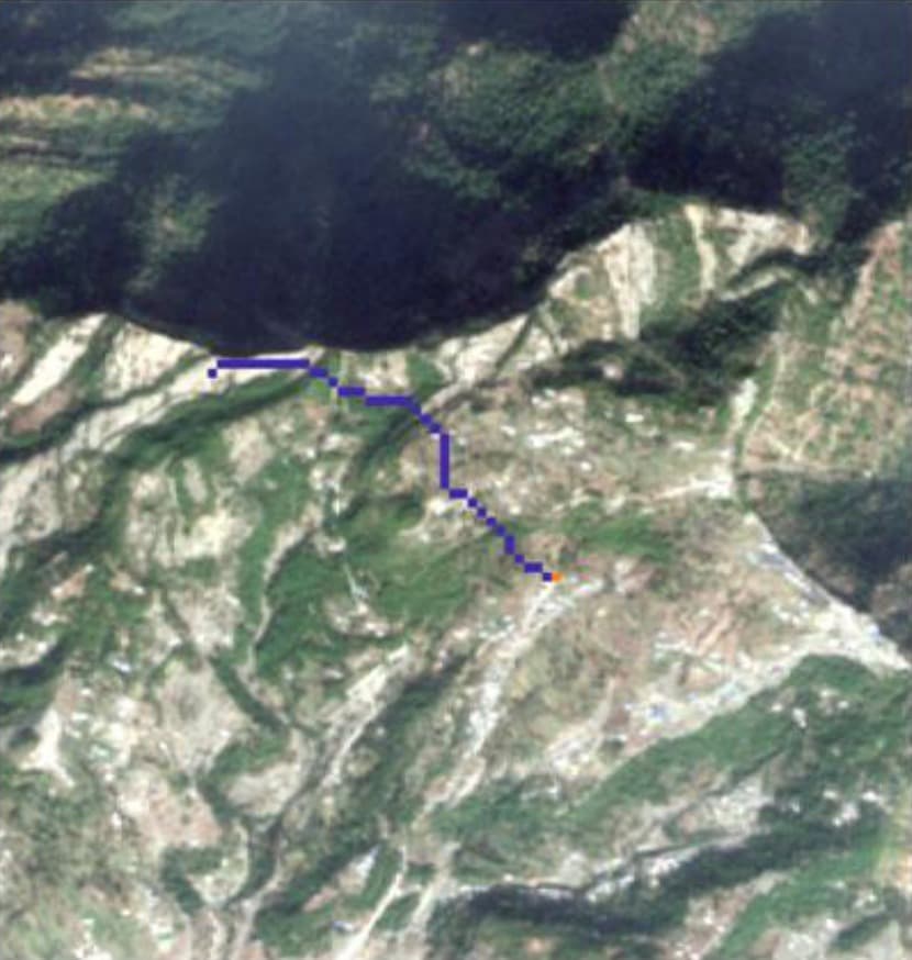 GIS
GISLeast-Cost Path Trail Analysis for Punjpeer Rocks
Punjpeer Rocks, a viewpoint on Danoi Ridge in Kotli Sattian, Kahuta, had no engineered trail — only unmarked routes up steep terrain.
Read the full case study